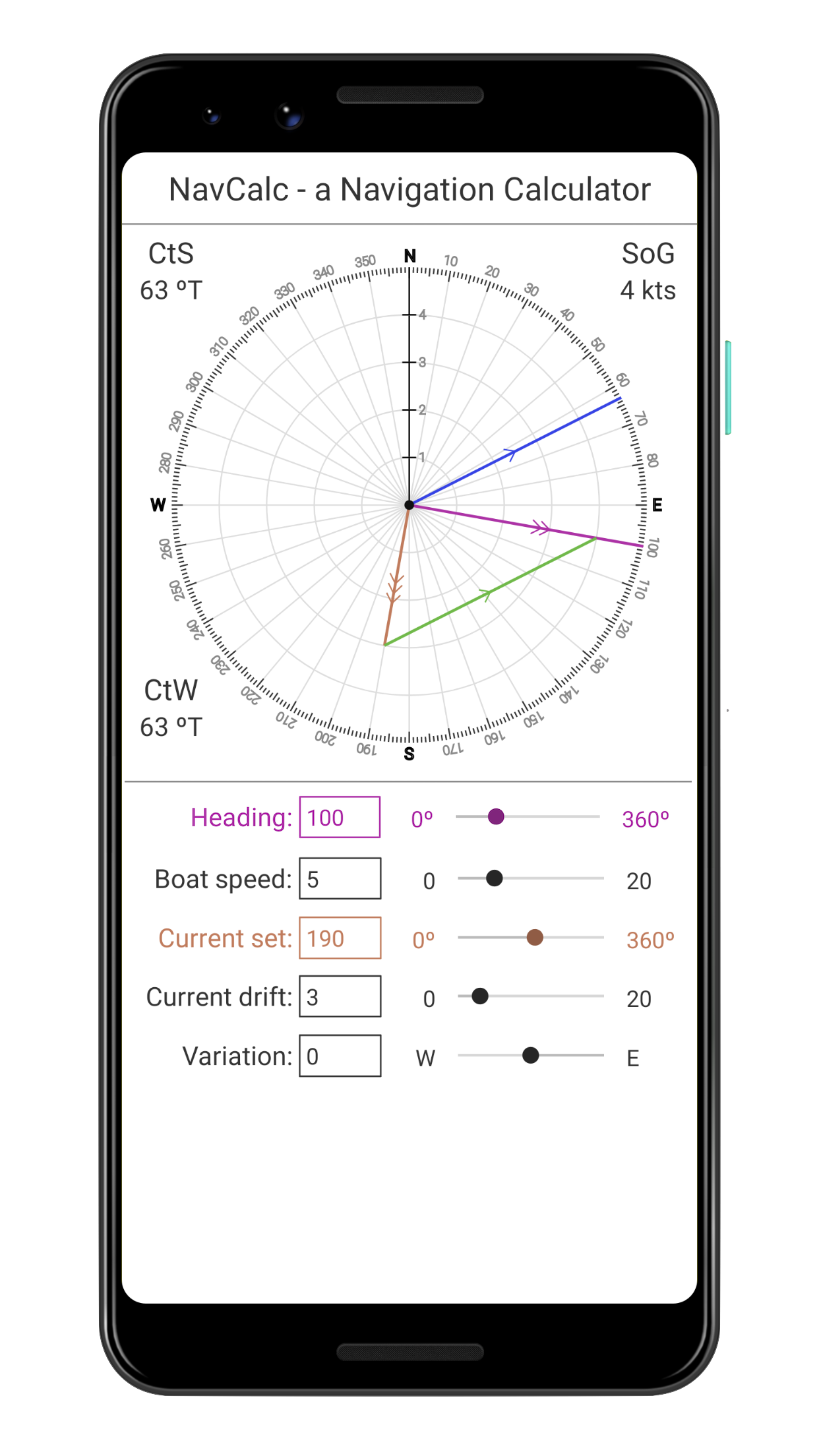
I got the idea for NavCalc when I was contemplating a new feature for the Plan Your Sail app.
Plan Your Sail estimates the time it takes to get from Point A to Point B, following a prescribed route. It also shows the state of the tides and currents at each point along the route, but it does not account for the effects of current when estimating the time it takes to transit each leg of the route. So, I wanted to add that in.
I knew how to take current into account when doing traditional chart navigation – you need to know the set (direction) and drift (velocity) of the current along your route, then you use dividers on your chart to measure out where the current will take you and how to set your Course to Steer in order to counter the effects of the current. Easy enough.
And the Plan Your Sail app already had all the data for tides and current. All I needed to do was get the math right, and I decided that the best way to do that was to write a new app that would show everything graphically. NavCalc is that app!
I think NavCalc is useful as a standalone app to solve navigation problems involving Set and Drift (and leeway, too). I hope it works well for you.